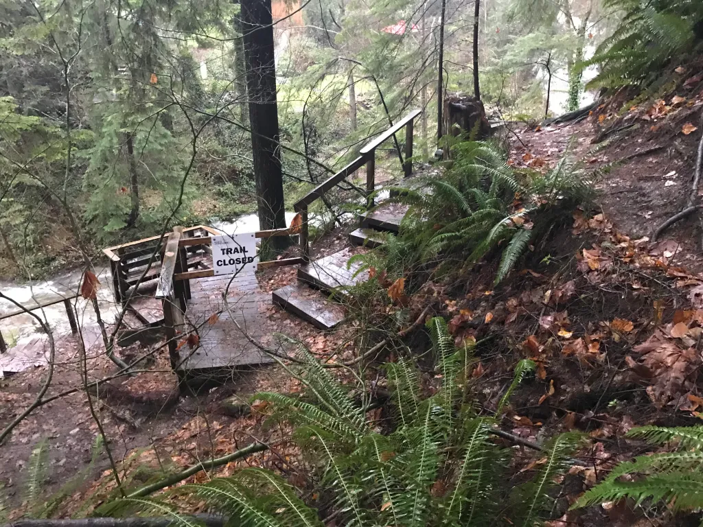
Geohazards are natural or human-influenced geological processes that pose risks to infrastructure, ecosystems, and public safety. In British Columbia, where steep terrain, seismic activity, and variable climate converge, identifying and managing these hazards is essential for safe development and long-term resilience.
Identification
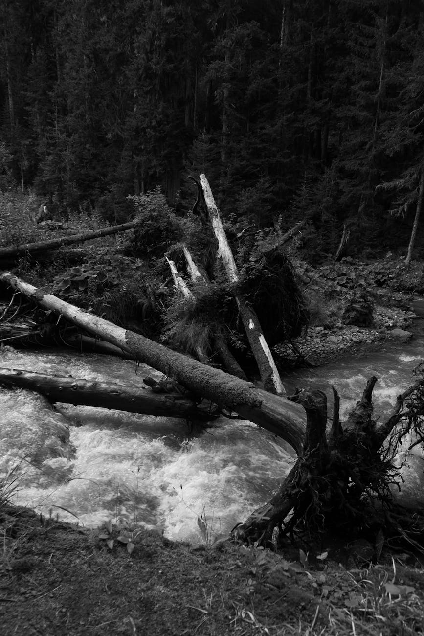
Geohazard identification involves mapping and analyzing features such as:
Integrated Approach
Effective geohazard management often involves collaboration with:
– Environmental scientists and hydrologists
– Archaeologists and Indigenous communities
– Municipal planners and emergency services
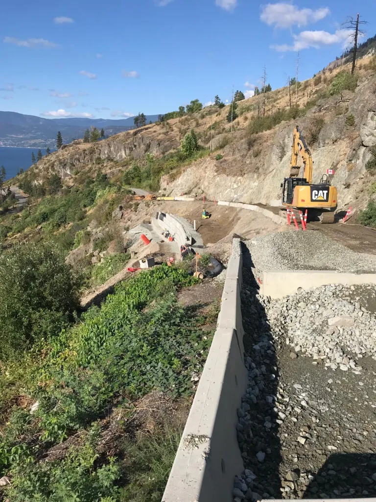
DMC provides comprehensive services in hazard mapping, mitigation design, and post-event recovery.
In BC’s dynamic landscape, geohazard risk management isn’t just a technical exercise—it’s a proactive commitment to safety, sustainability, and informed decision-making.
Tools used include:
Risk Management
Once hazards are identified, risk management strategies aim to reduce exposure and consequences: